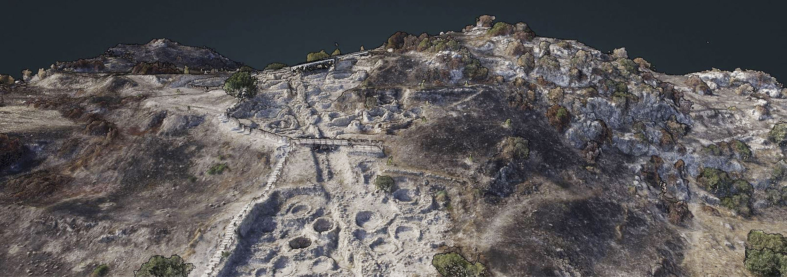
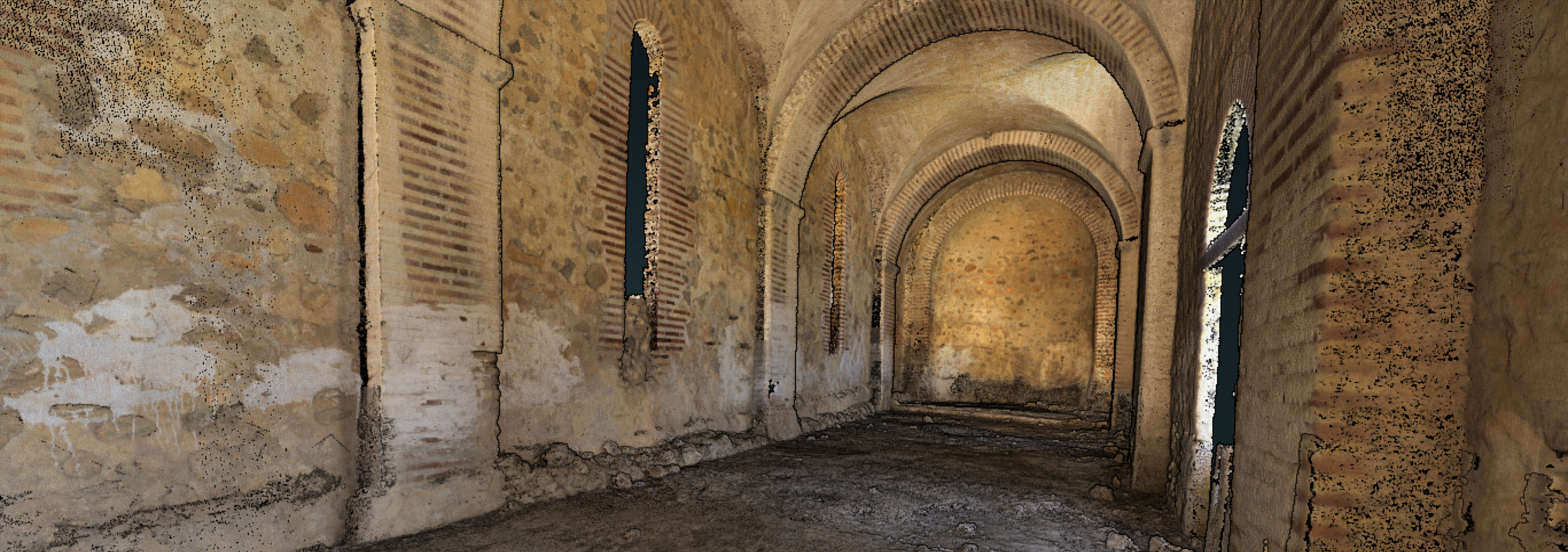
3D Technologies
The 3D reconstruction of scenes and objects at different scales is generally performed today using range or image data. Range or active sensors, such as laser scanners or structured light systems, are a common source of dense point clouds due to their ease of use, speed and ability to capture millions of points in a very short time. The associated data-processing procedure is also quite straightforward and is based on reliable and powerful commercial software.
On the other hand, the image-based approach, advanced by recent developments in computer vision, is presently offering additional automated procedures for both image orientation and 3D reconstruction at different scales. Complex scenes and objects can be surveyed and reconstructed using a large set of images with very satisfactory results.
Laser Scanning
Since 2000, range sensors, both airborne and terrestrial, have been employed for various applications; continuous improvements in both hardware and software have been made as a result of technological advancements. Thus, for more than a decade, range sensors have been growing in popularity as a fundamental source of dense point clouds for 3D documentation, mapping and visualization purposes at various scales.
3D Laser Scanning is a non-contact, non-destructive technology that digitally captures the shape of physical objects using a line of laser light, creating “point clouds” of data from the surface of an object. In other words, 3D laser scanning is a way to capture a physical object’s exact size and shape into the computer world as a digital 3-dimensional representation.
Photogrammetry
Thanks to recent significant improvements in hardware (such as better dynamics and radiometry) and algorithms (for example, structure from motion (SfM) or innovative image-matching algorithms), photogrammetry has re-emerged as a competitive technology and a resurgence in automated photogrammetric methods is now evident. Image-based surveying and 3D modelling can now deliver, in reasonable time, results of comparable geometric characteristics to those of laser scanning for many terrestrial and aerial applications.
Photogrammetry is the science of making measurements from photographs. It encompasses methods of image measurements and interpretation in order to derive the shape and location of an object from one or more photographs of that object. In principle, photogrammetric methods can be applied in any situation where the object to be measured can be photographically recorded.
The primary purpose of a photogrammetric measurement is a three-dimensional reconstruction of an object in digital form (coordinates and derived geometric elements) or graphical form (images, drawings, maps).